I was born in the year of Roe V. Wade at the tail end of the Vietnam War. It was a time of peaceful protests infused with the idea of free love. The tide in America surged towards inclusivity and acceptance. The equal rights amendment had just been codified into law, and people were experimenting with ways to return their connection to the land, and to a spiritual force that moves beyond the structure of religion.
The wave of free love ebbed when the ’80s rolled in with the Reagan era. A war on drugs commenced, never to be won, and conservatism washed across the country. I am no historian, but I am interested in our collective stories and how we move through time informing each other. I am interested in the driving forces of opposition and polarity; the struggle for power and control when freedom and love take hold. When I turn through the half-century of my life thus far on Earth, I observe this rise and fall of tides, noticing the contraction that follows expansion, as I wonder about the years ahead yet to be formed.
Never before have I felt such instability in our collective movement. In this time of conservatism that attempts to throw us back to a time long before my birth, I feel all that precedes it in a rise of our chaos. How much unease can the individual and shared body endure?
We are wise enough to know this is a tactic, but yet we are ignorant enough to think (in part) that somehow lies are truth. That equality is a ruse when a would-be-king who is an adjudicated criminal, a rapist, a heartless narcissist, and the very antithesis of all that Jesus Christ stood for, could in fact be our savior. Even though all evidence points against this. Why do we hold fast to illusions? What pulls us into the blind path of sycophants? Why do we turn outward for security, instead of inward, especially when the prophet cares not for the lambs who follow him?
Will we ever learn? Is this our moment of reckoning? This apocalypse playing out in rapid time before us, overwhelming all sense of stability and connection will either lead to a cycle of dystopia or an opportunity to return to our origins.
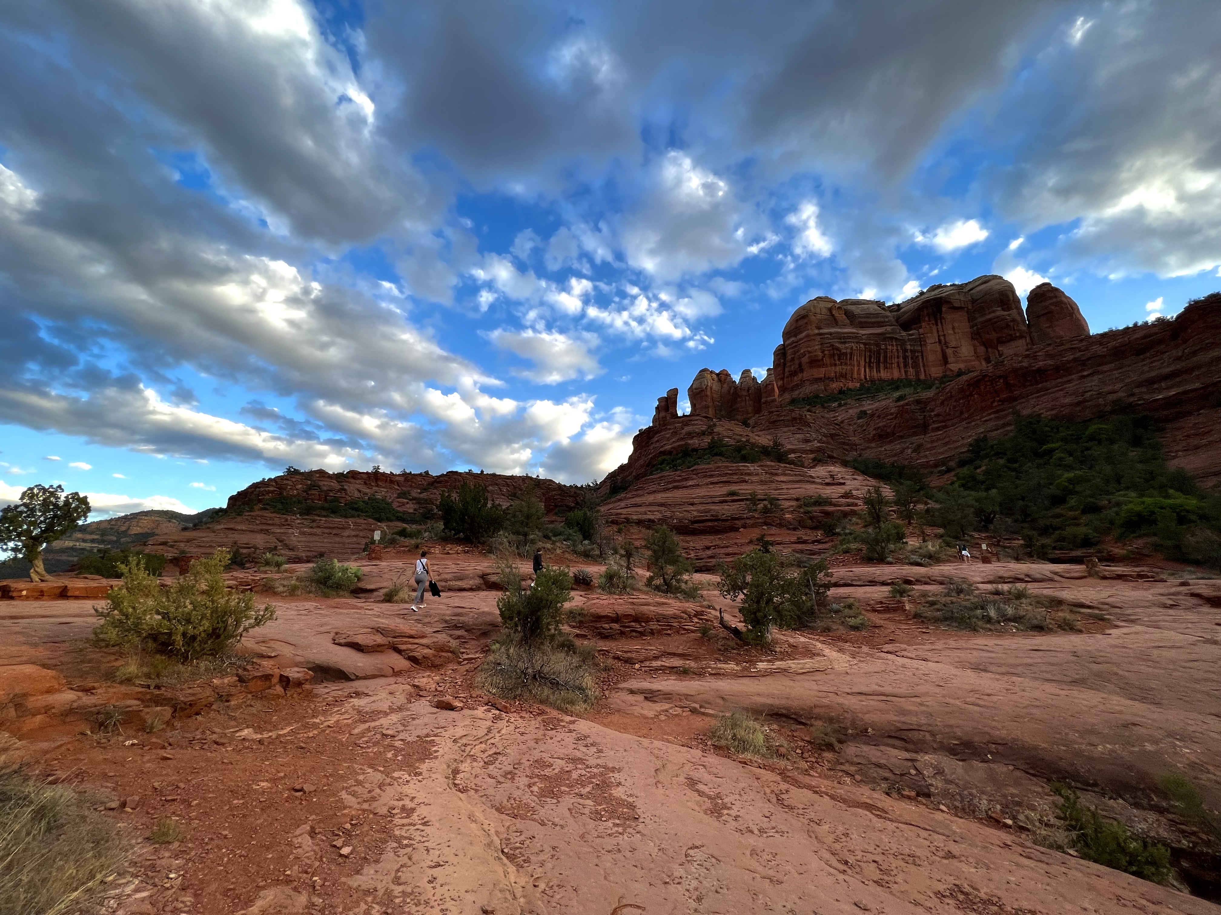
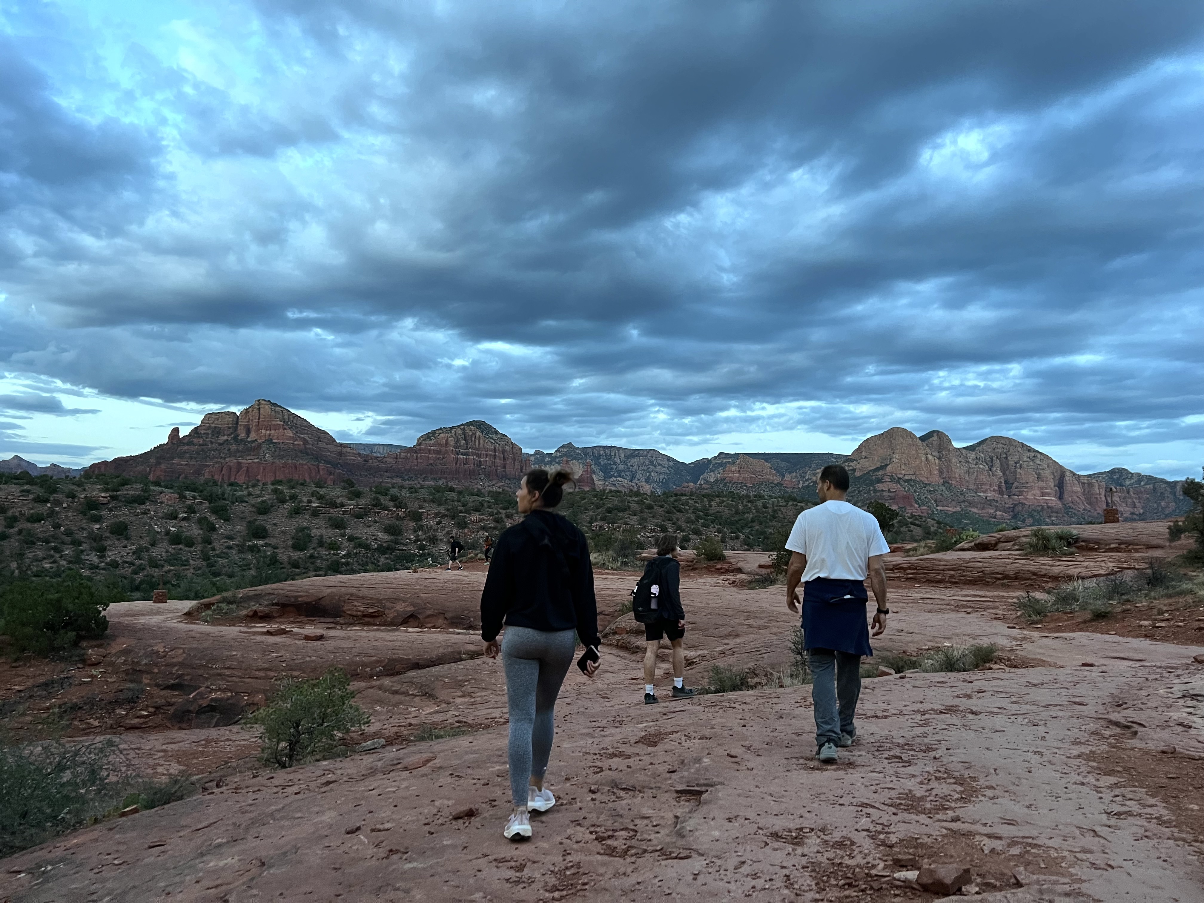
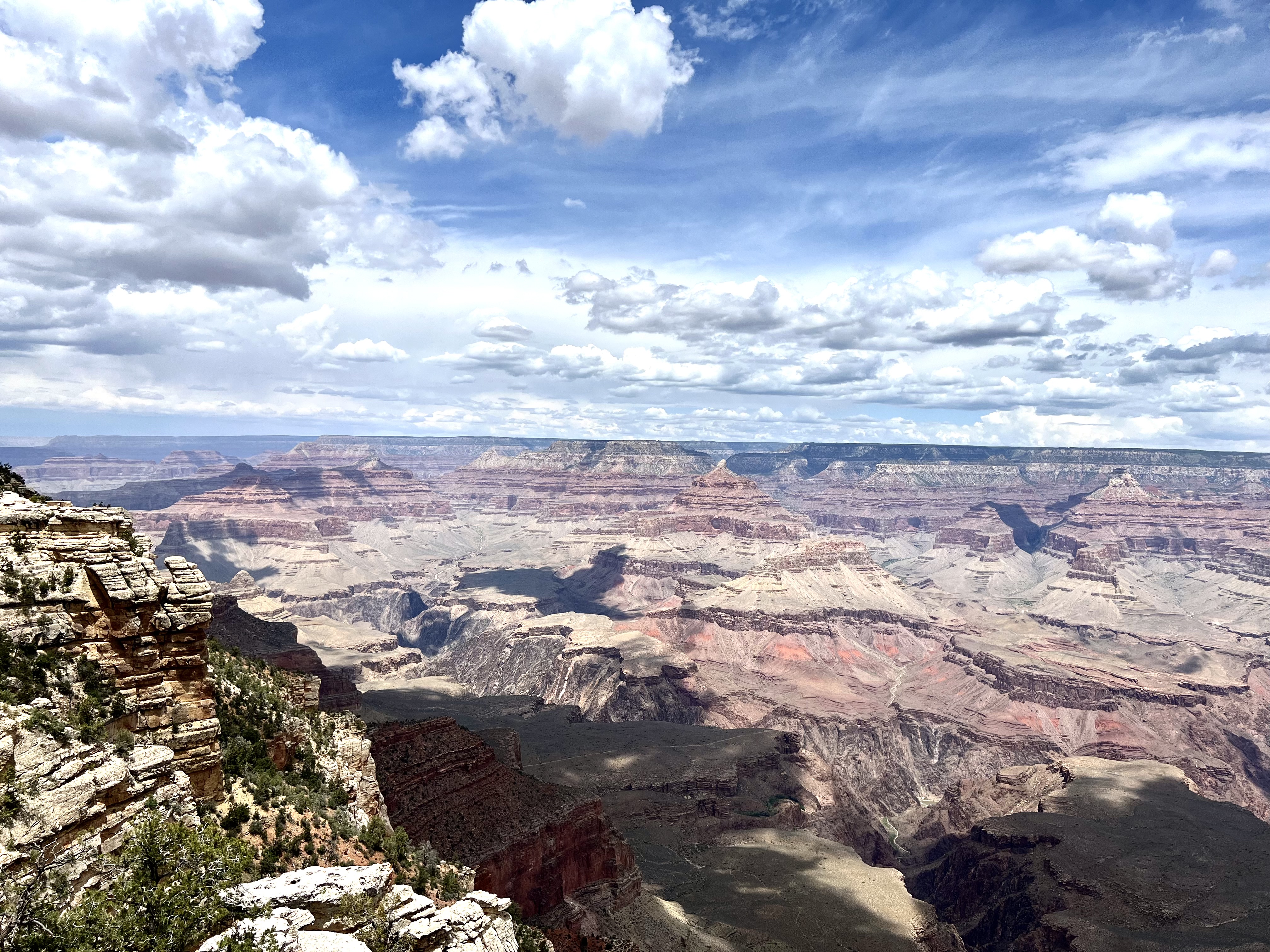
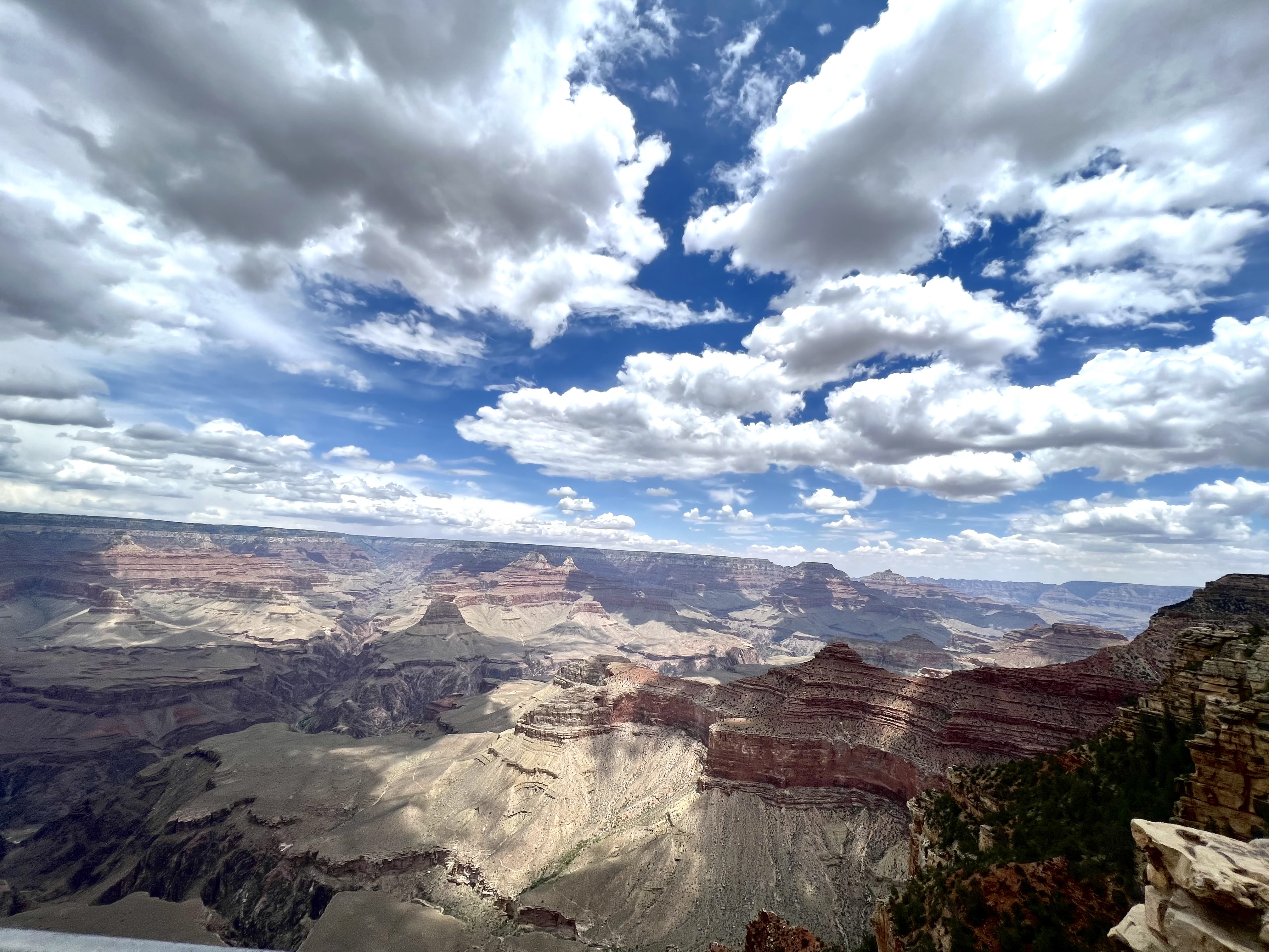
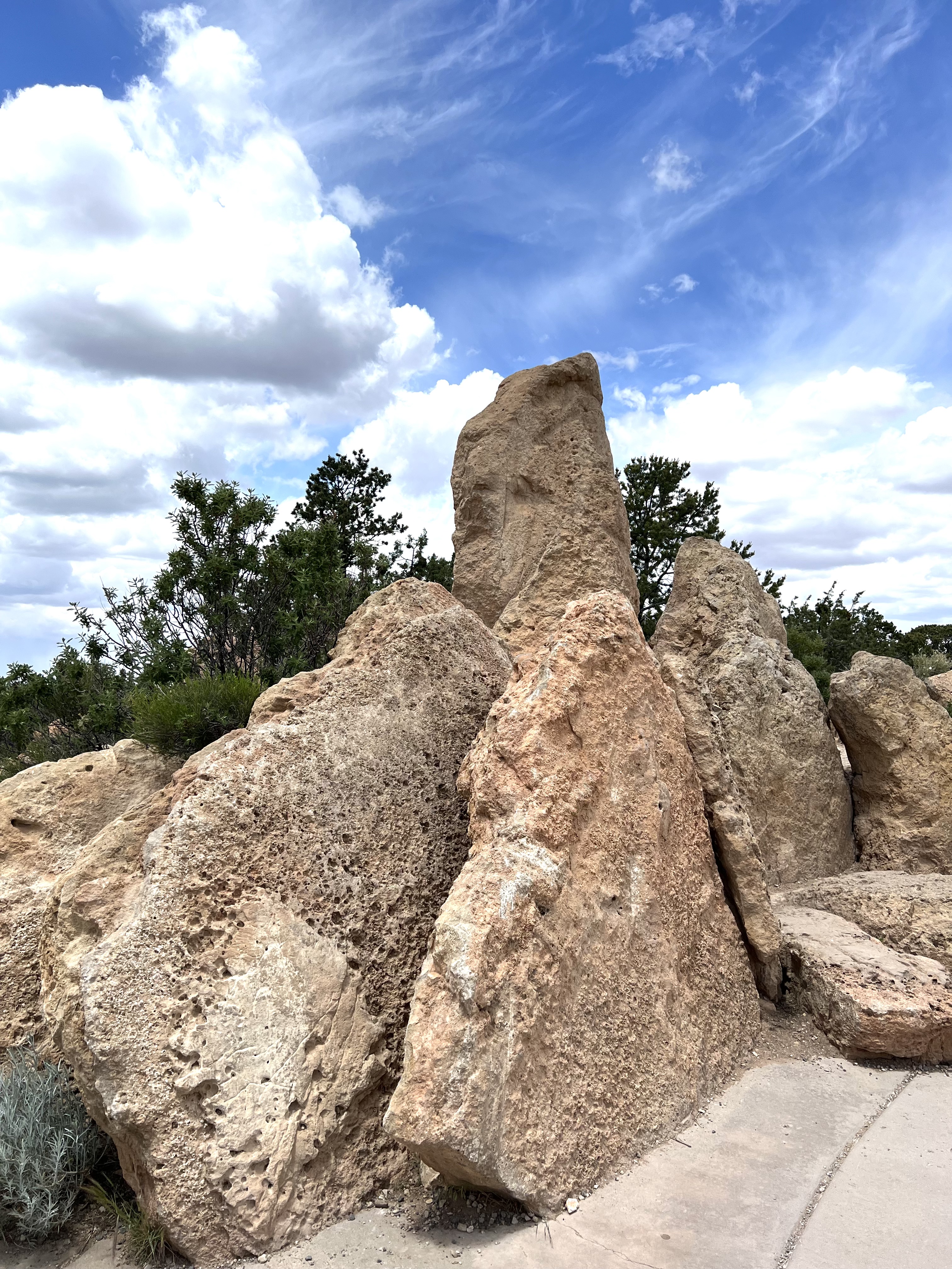
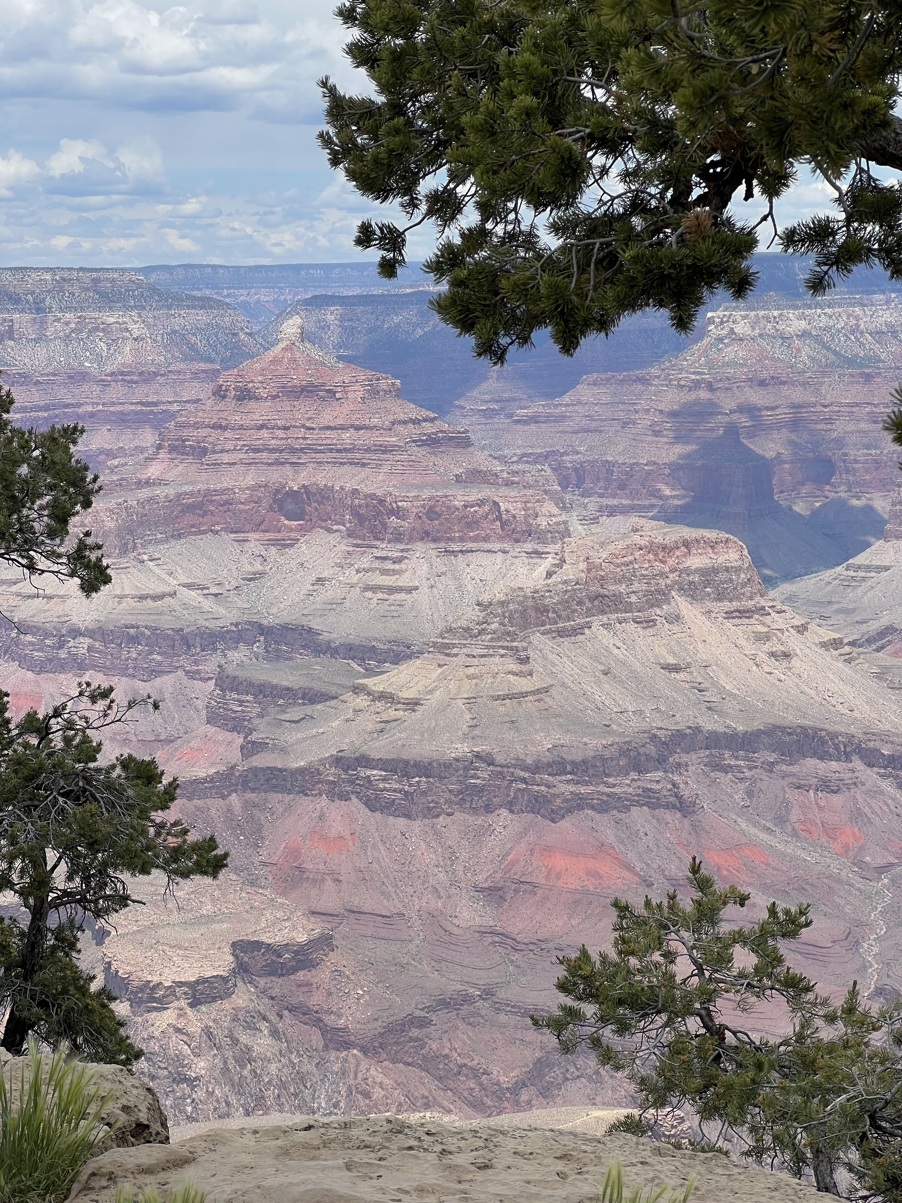
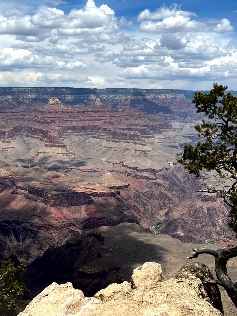
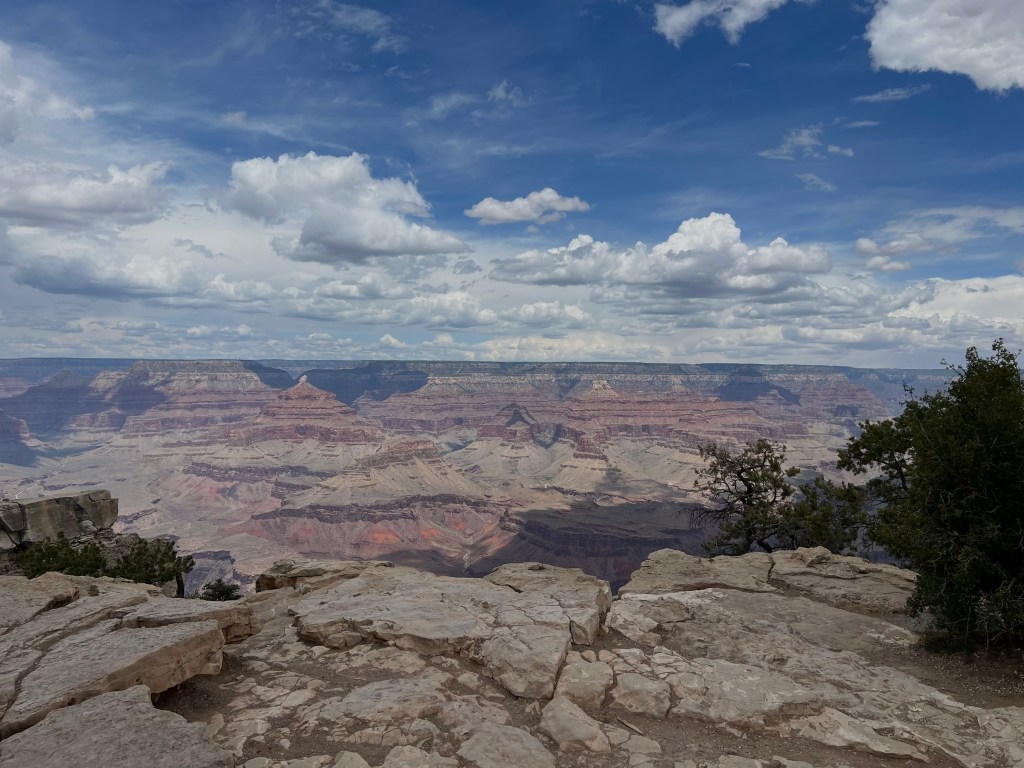
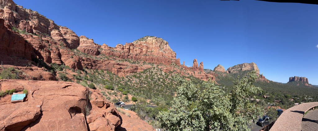
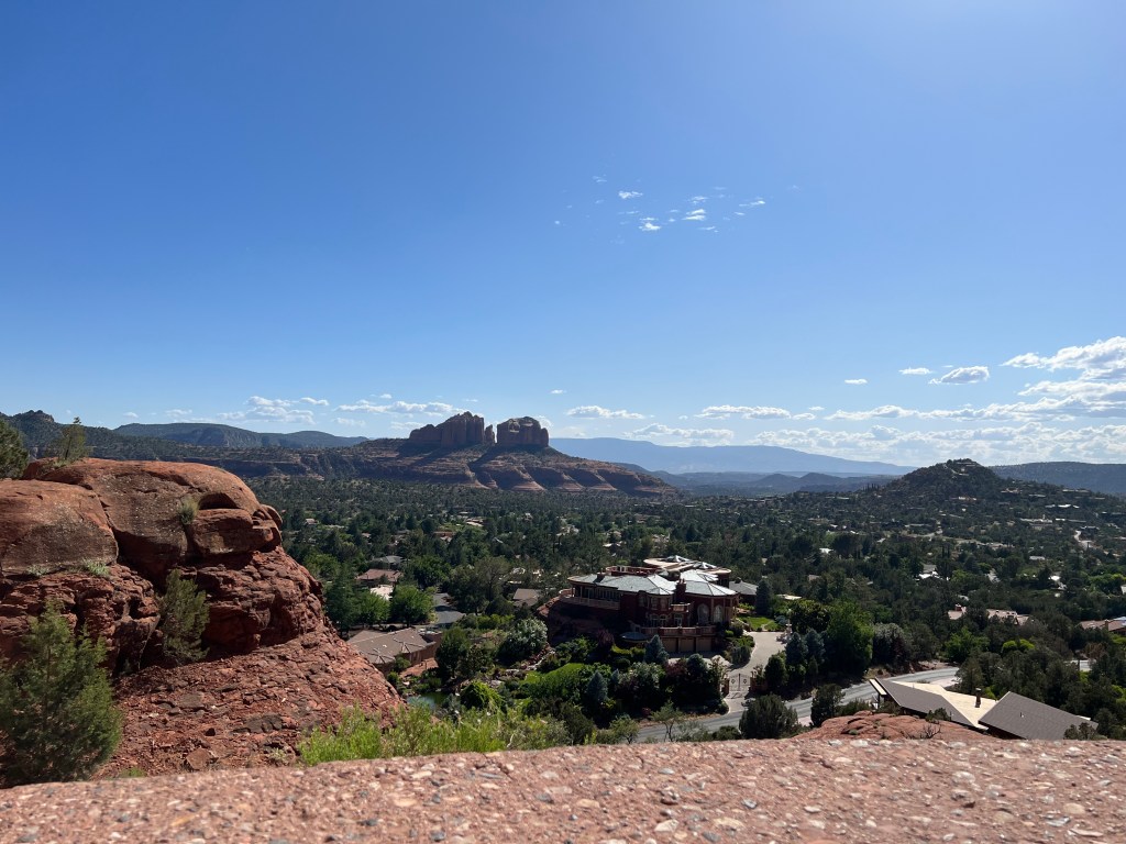
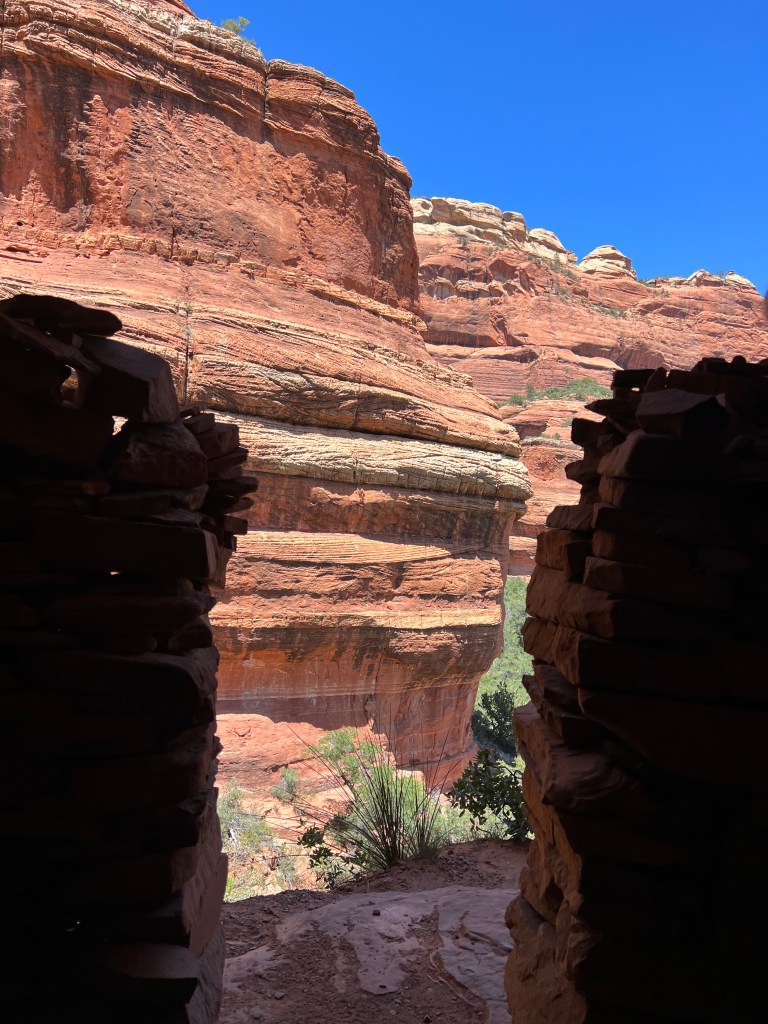
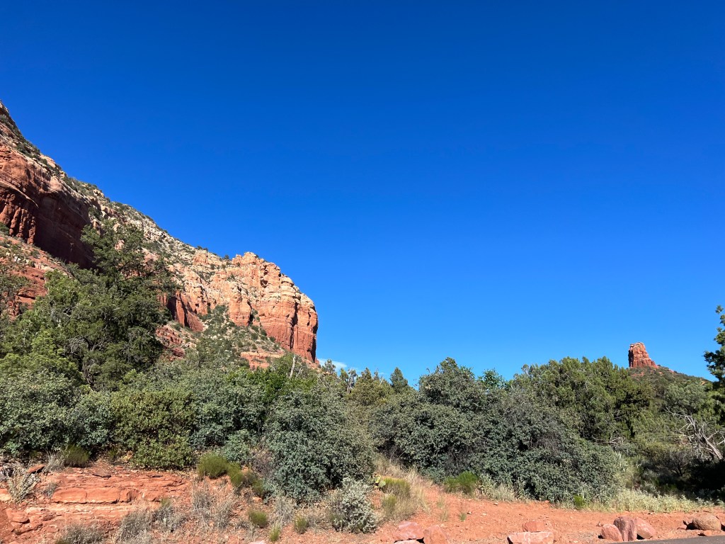
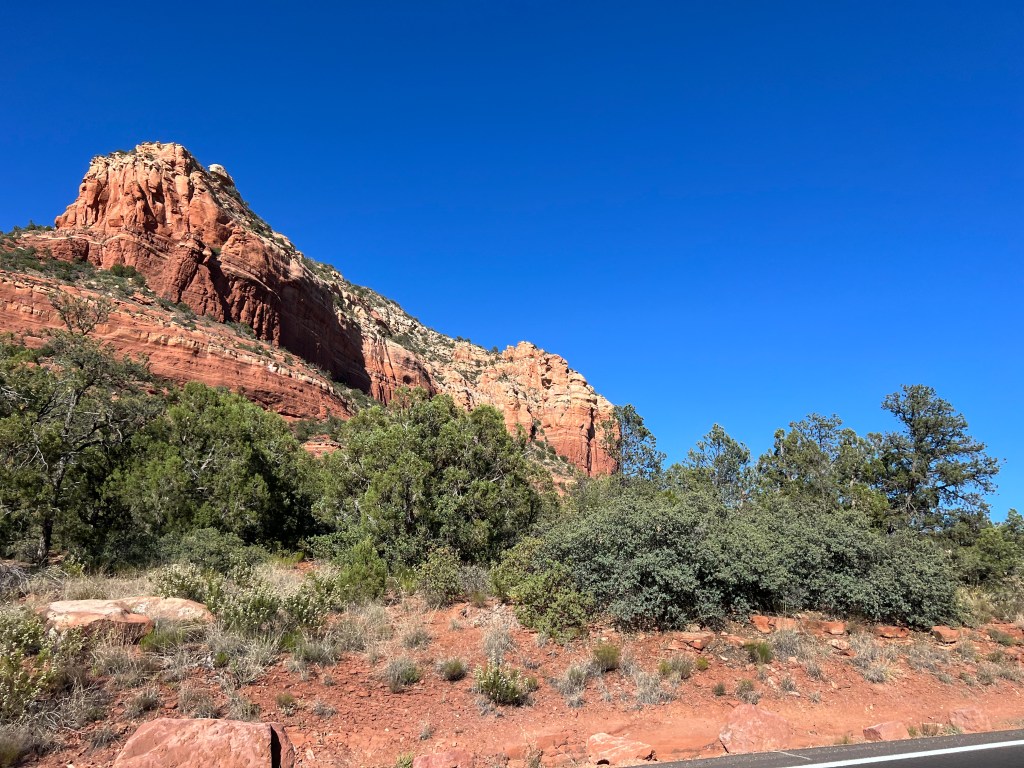
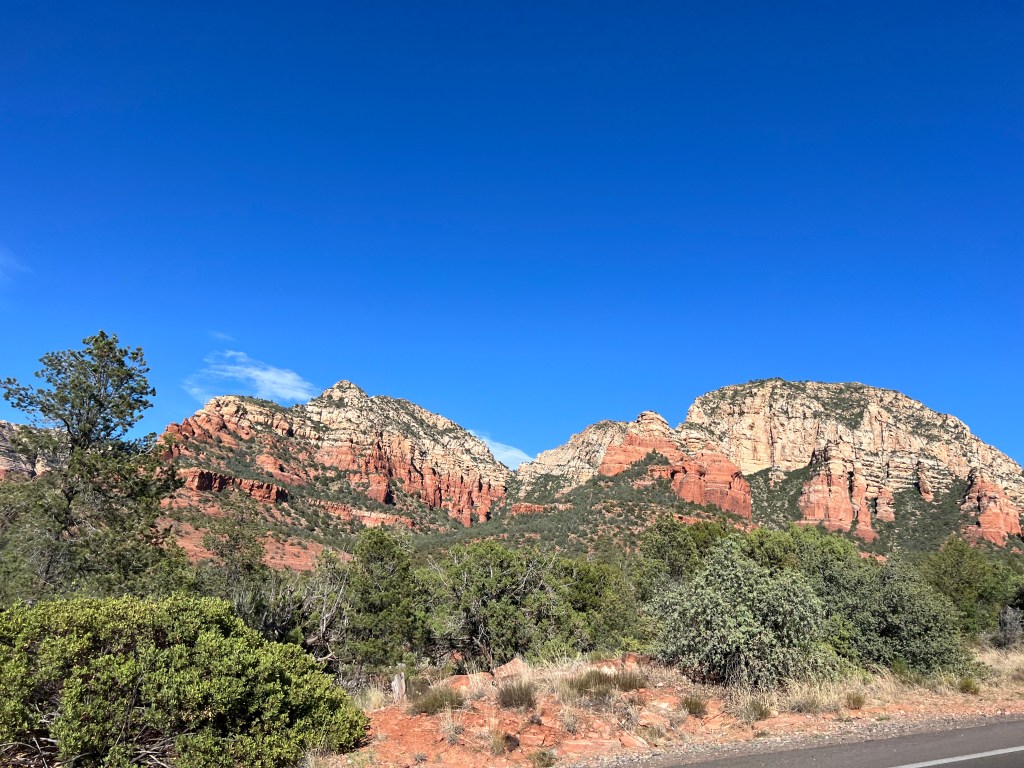
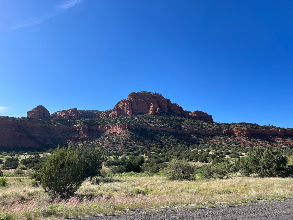
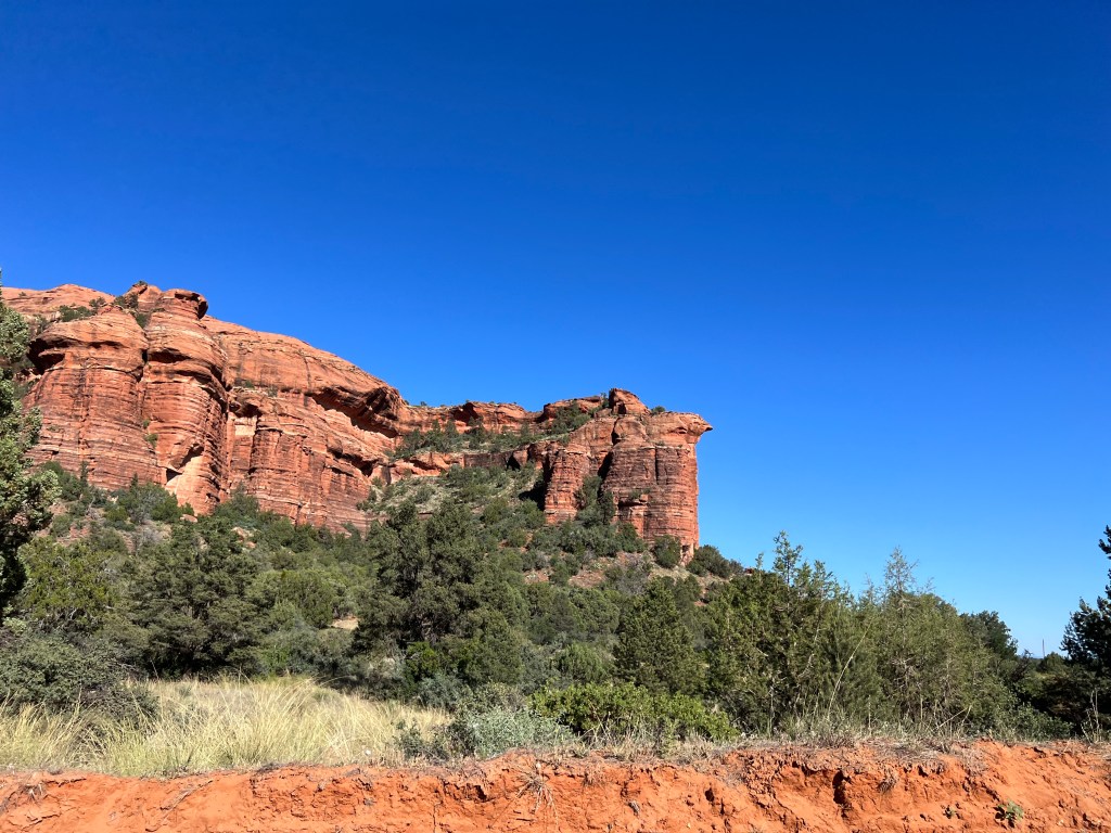
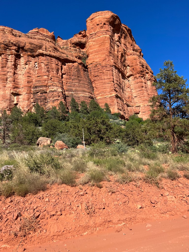
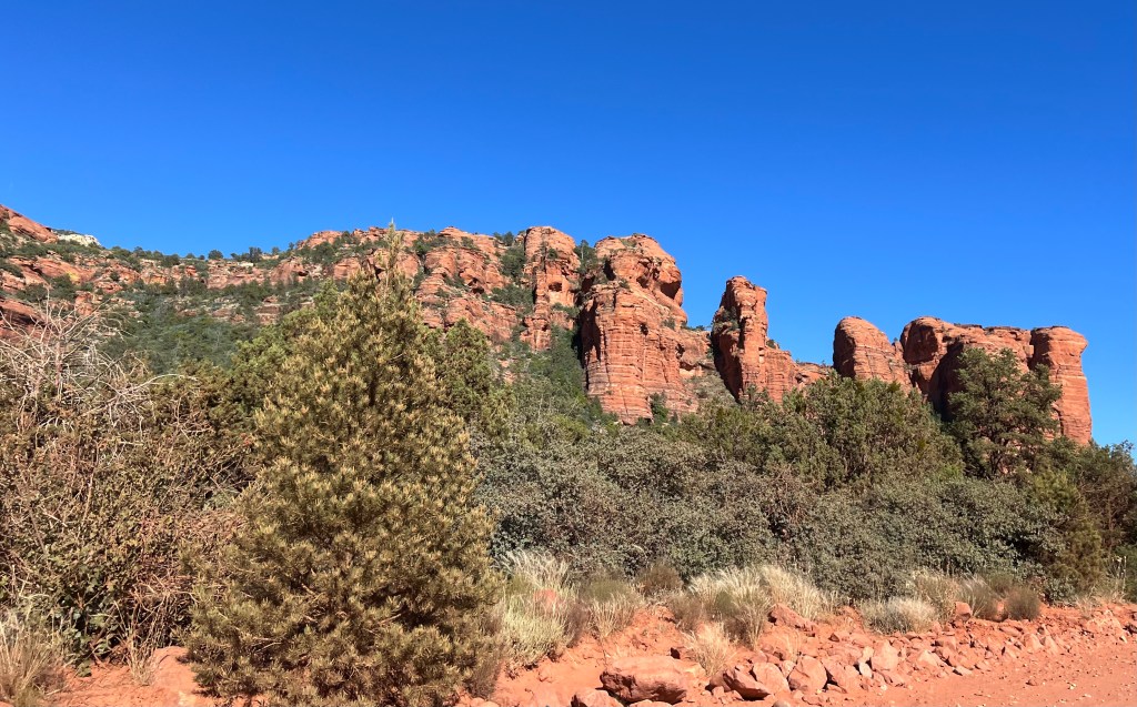
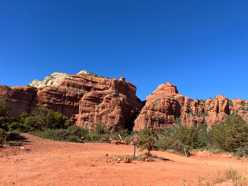
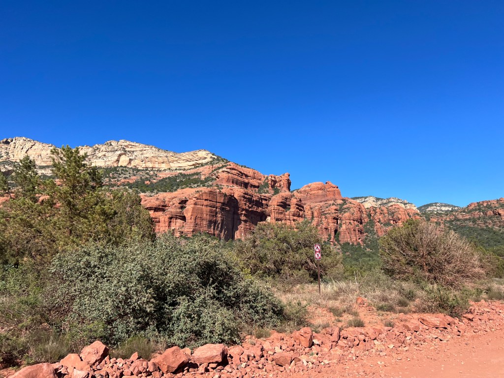
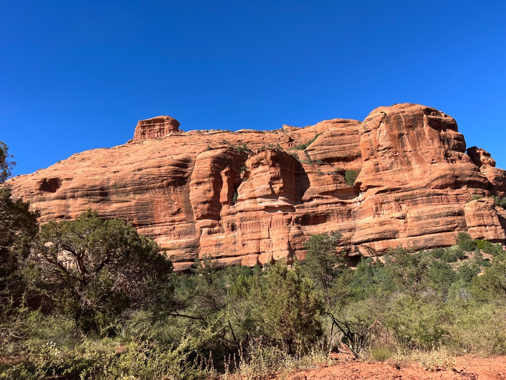
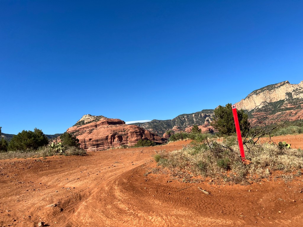
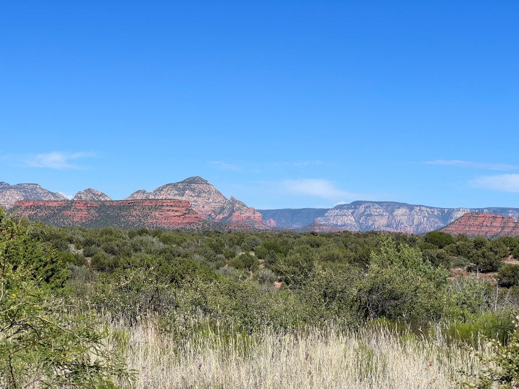
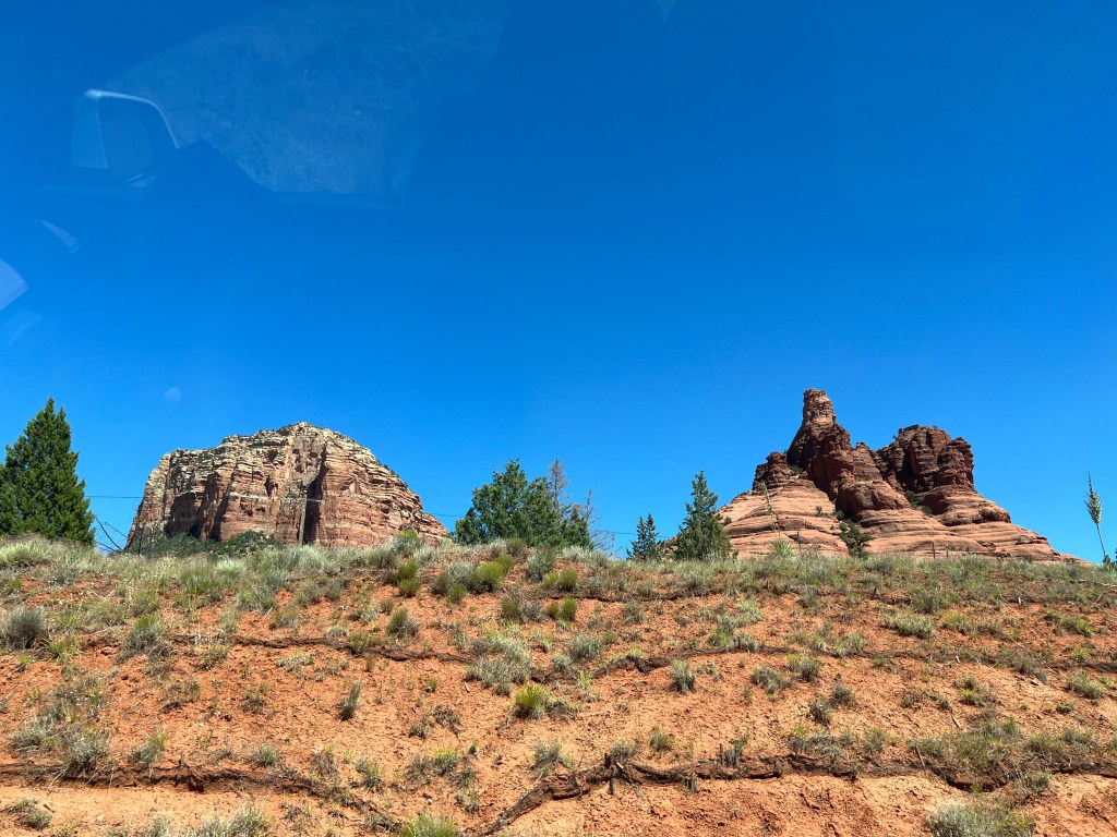
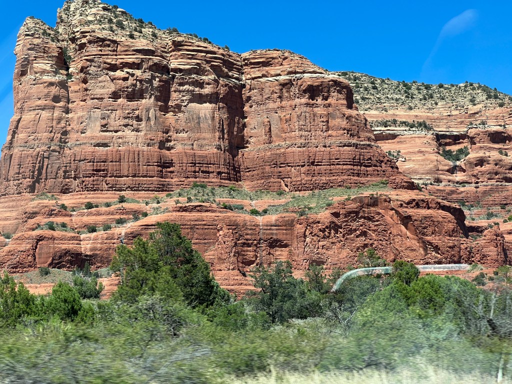
Because I like to follow history back before it was history, I favor the theory of the goddess cultures as a time of harmony and true connection. As an empath, I find home among the ancient sacred landscapes that honor the Mother as divine, not without the father, per se, but elevated to the status of holy ground. Inside these holy grounds, these mother-wombs, I find my sense of connection to the self as part of a whole. I feel the light threading through life in a web, now severed, but repairable.
It is this knowing that propels me towards hope. Sometimes we must cleanse a system of its debris before we can get its parts working again. I use this metaphor, that feels like truth, in my Warriors of Light series. When the warriors follow the broken lines of light in Earth’s body they arrive at the heart of a giant named Albion, only to discover that his heart is also the heart of Earth. They are one and the same. He is the yang to her yin. One cannot exist without the other to be whole.
I am not sure why we have collectively resisted the divine feminine energy that threads through all of us, and why we have tried to dominate (and thus destroy it) in our shared mother, Earth, for so long, but it has become painfully clear at this present moment we are destroying ourselves. If we continue along this path, we will not thrive. It’s likely, if we survive, it will be just barely, and only a select few. One man’s quest for kingdom is not about sustainability and mutual thriving. Instead, it can only lead to a further severing of our connection from all that makes us whole.
This is a time of reckoning. It’s a time to reflect upon the self and the role you individually play in this life that is shared. In this time of climate crisis and political upheaval, we must, if we are to endure, dig deep into the debris and spark the light back to life. We must thread it back to a place of unity so that we can, collectively, begin to repair what we have torn apart.